Dig In!
Dig In! is sponsored by the Chesapeake Energy Corporation.
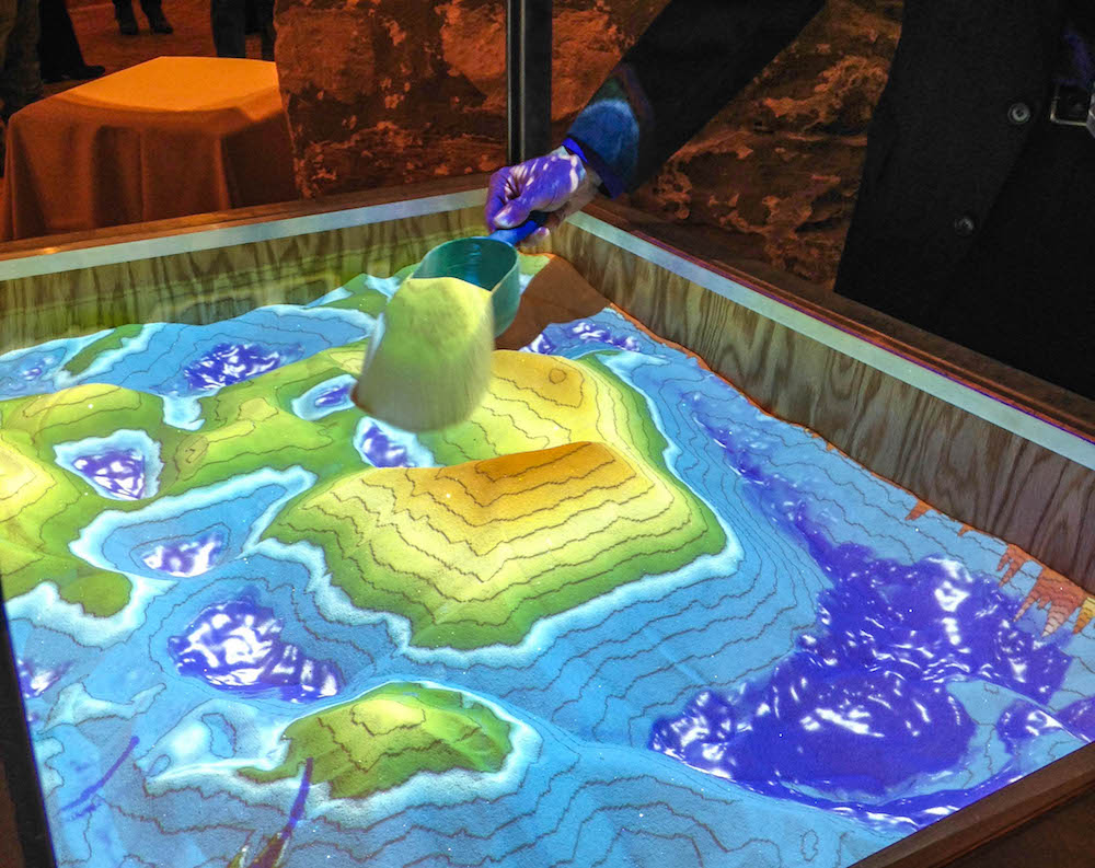
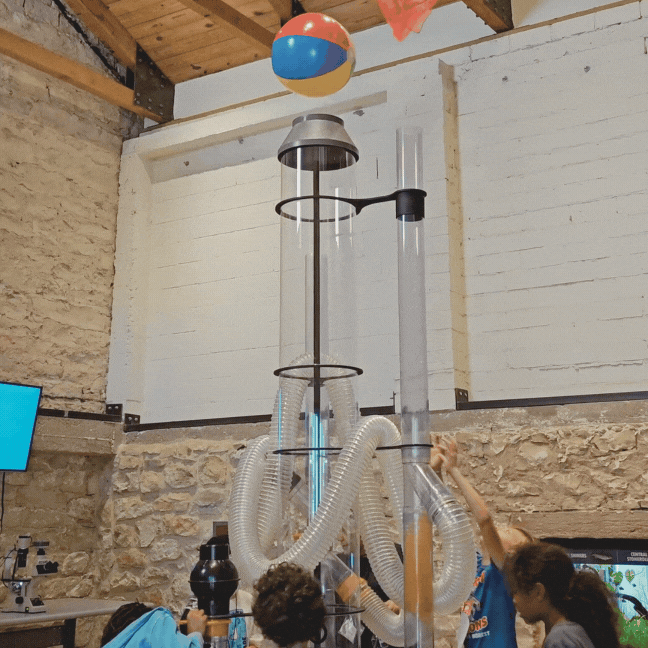
Run your hands through real sand, forming mountains, rivers, lakes and dams in this interactive, augmented reality exhibit. Bring the concepts of geology, watersheds, erosion and topographic mapping to life while you create virtual topography in real time. Hold your hand above the sand to cast a shadow, causing virtual rain to fall from a virtual cloud. Carve a river in the sand and build a dam and watch as the water flows according to your design.
CAREERS
Geologist, Civil Engineer, Watershed Manager, Digital Map Developer
HOW TO
Hold your hand above the sand to cause rainfall.
Carve or build in the sand and watch as the water flows according to your design.
CHALLENGE
Connect two water sources and create a dam to control the water flow.
¡Da forma a la tierra en Dig In!
Usa tus manos para formar montañas y valles en esta exhibición. Da vida a conceptos como mapas topográficos, geología, cuencas hidrográficas y erosión mientras manipulas la topografía virtual y haces que llueva.
Profesión
Geólogo/a, Ingeniero civil, Gerente de cuenca hidrográfica, Desarrollador de mapas digitales
¿Cómo hacerlo...?
Sostén tu mano sobre la arena para provocar lluvia.
Cava o construye en la arena y observa cómo fluye el agua según tu diseño.
Desafío
Conecta dos fuentes de agua y crea una presa para controlar el flujo del agua.
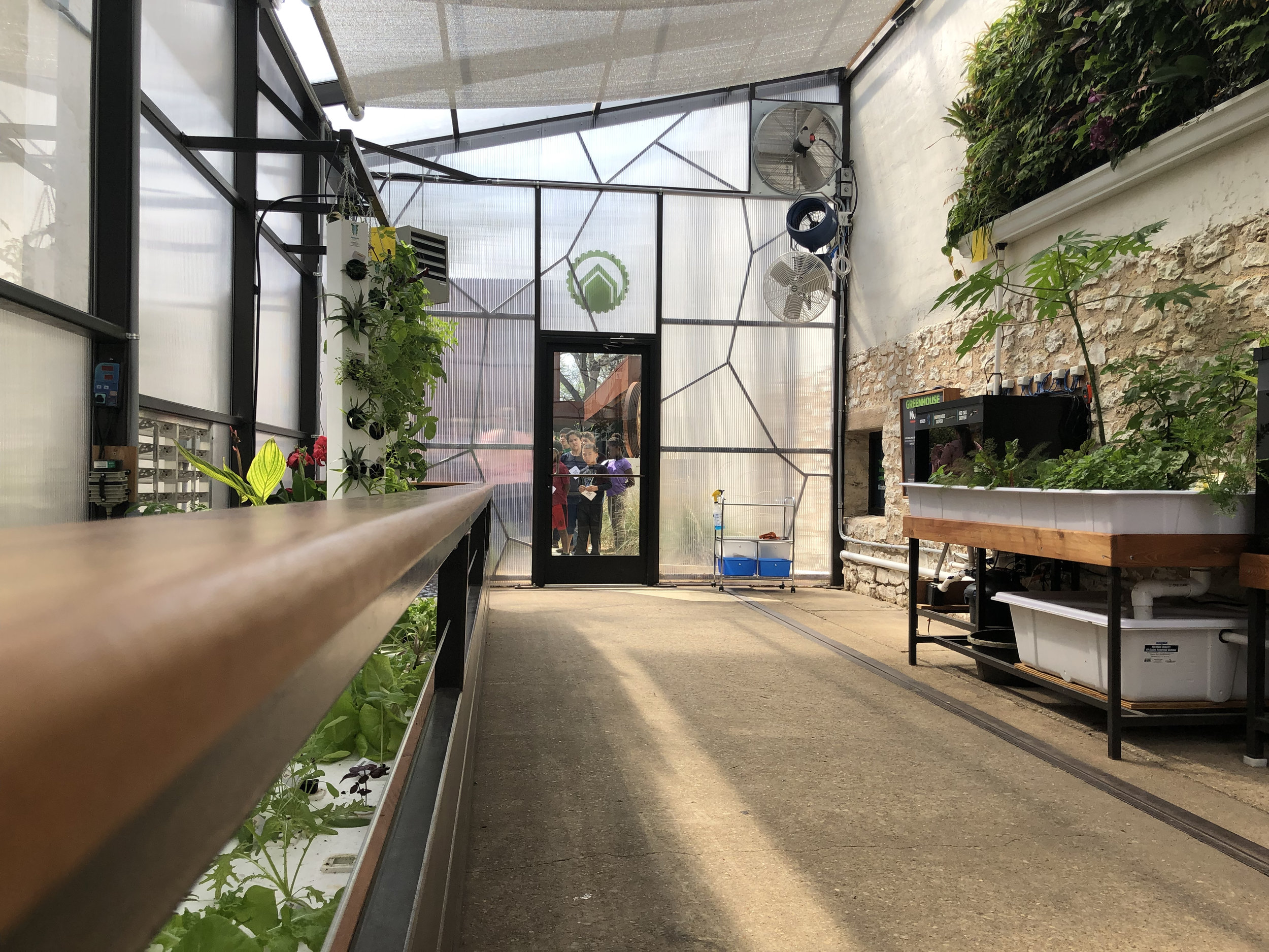
MORE EXHIBITS...